LARA on line reporting system is accessible 24/7 via the dedicated button at the top of this page, alternate is graffica.lara@soprasteria.com.
In case of an urgent request you can call +44 (0)1684 771022 during office hours from 900 to 1900 BXL Time .
The LARA Team remains available at: lara@eurocontrol.int1684 771022")
Recent events

LARA Main Page
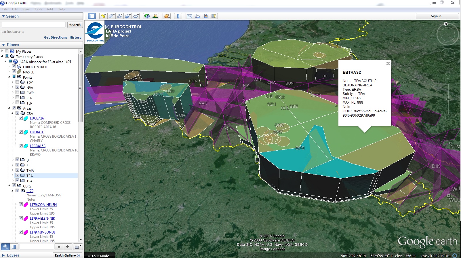
Enhanced graphical visualisation of downloaded airspace
In order to facilitate the sorting and layered display of the entities extracted from the online data base, new data subdivision for points and areas has allowed to regroup them in different sub-folders in Google Maps and Google Earth, such that different rendering style could be more easily associated to them.
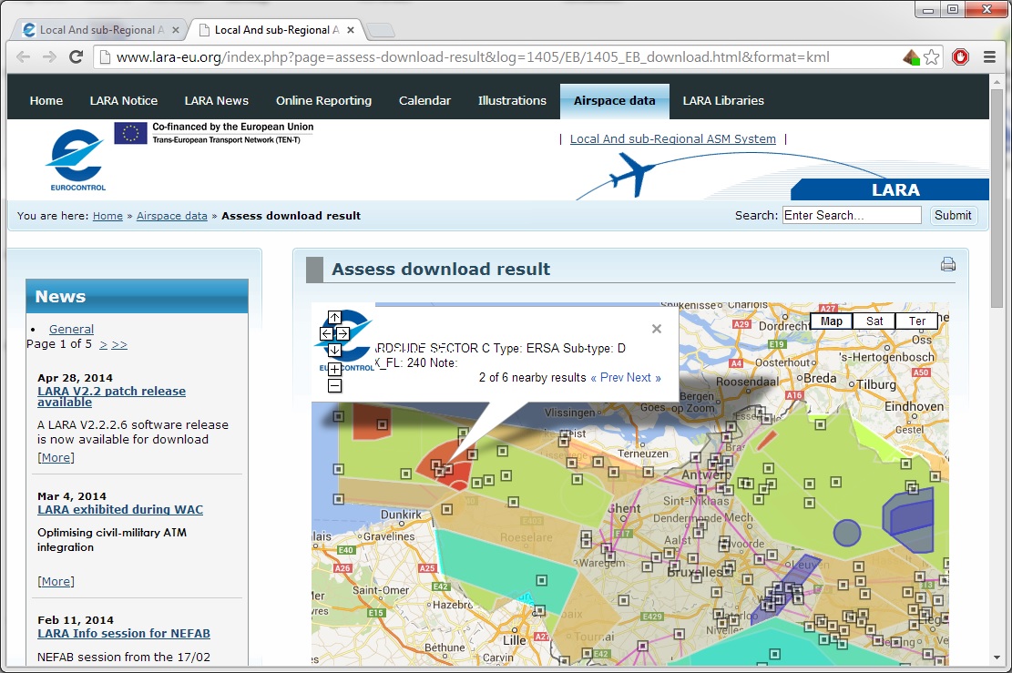
Additionally, the generated "pseudo-CACD" dataset now contains NM UUID identifier for airspace and route segments, such that future version of LARA could generate the corresponding AIXM5.1 AUP/UUP for B2B exchanges with NM.